8 February 2025
Imagine finding the perfect spot for a new home, retail complex, or even a major industrial facility—without ever leaving your desk. That’s not science fiction. It’s geospatial data technology in action. Real estate, a field once dominated by gut instincts and handshakes, has now merged with high-tech wizardry to revolutionize site selection. But what does it all mean for the future of real estate? Let’s dive in.

What Is Geospatial Data Technology Anyway?
Let’s break it down. Geospatial data technology is a sophisticated way of collecting, analyzing, and visualizing data tied to specific locations on Earth. If you’ve ever pulled up Google Maps to find directions or searched for restaurants near you, congratulations, you’ve already dabbled in geospatial data!However, in real estate, this technology operates on a much deeper and more complex level. It crunches massive amounts of location-based data, uncovering insights that were previously invisible to the naked eye. From population density maps to traffic flows and soil composition, this tech provides a treasure trove of useful information. It’s like swapping an old-school treasure map for a GPS system with real-time updates—more efficient, less guesswork.

Why Does Site Selection Even Matter in Real Estate?
When it comes to real estate, location is the holy grail, right? A poorly selected site can tank a project faster than you can say “foreclosure.” Choosing the wrong parcel of land for a shopping mall could mean low foot traffic. Building apartments in a flood zone? Disaster waiting to happen.Site selection isn’t just about finding available land; it’s about finding the right land. That’s where geospatial data steps in to save the day. By leveraging data-driven insights, this technology transforms site selection from a risky gamble to a calculated, strategic decision.
Think of it this way—why would you use a dartboard to pick a restaurant when you have Yelp reviews? The same logic applies here. Geospatial data is like Yelp for land parcels, offering precise and actionable insights. 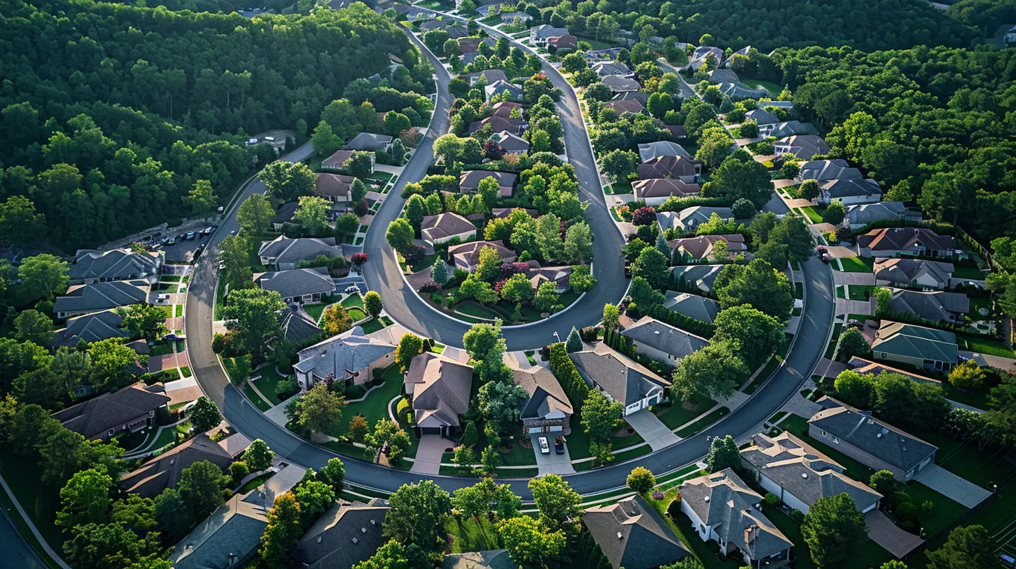
How Geospatial Data Technology Is Used in Real Estate
1. Understanding Demographics Like Never Before
Ever wondered why a Starbucks seems to pop up exactly where it’s needed most—near young professionals, high foot traffic, and complementary businesses? No, it’s not magic. It’s data.Geospatial data enables real estate professionals to dive deep into demographic trends. It shows where people live, work, and play. Not only that, but it can also predict how these trends might shift in the future.
For home builders, this means constructing homes where demand is likely to surge. For retail developers, this translates into picking locations that cater to target customers. It’s like having a crystal ball—but way more reliable.
2. Optimizing Traffic and Accessibility
Picture this: You’re sitting in traffic for an hour just to visit a new grocery store. Are you going back? Probably not.Accessibility is critical in real estate, whether it’s about a commercial business or residential property. Geospatial tools analyze traffic patterns, commute times, and accessibility to public transport. This helps investors and developers prioritize locations where infrastructure supports convenience and ease of access.
For instance, mapping tools can show you how close a potential site is to major highways, airports, or even walking trails. It’s all about minimizing barriers and maximizing reach.
3. Environmental Analysis: Avoiding Disasters Before They Happen
Here’s the thing: Not all land is created equal. Some sites are prone to flooding, while others may face soil instability or even high levels of air pollution.Geospatial data tools allow real estate players to evaluate environmental risks before making any commitments. They can map out flood zones, earthquake-prone areas, or even noise pollution hotspots. This ensures developers aren’t wasting millions on a project doomed to fail.
One great example? Solar farms. Choosing the right site for a solar farm isn’t just about finding sunny land—it’s about evaluating topography, environmental impact, and proximity to energy grids. Geospatial data makes all of this possible. 
How Exactly Does It Impact Costs?
Time is money, and traditionally, site selection took forever. This meant scouring physical sites, sifting through outdated records, and listening to secondhand anecdotal advice. Geospatial data cuts through all of that, delivering actionable insights in record time.Quicker decisions mean lower overhead costs for research and fewer delays in project execution. Plus, by avoiding poorly chosen sites, you’re effectively sidestepping costly mistakes that could derail an entire development.
It’s like wearing night-vision goggles in the dark—you can see clearly where others are fumbling around, and that clarity translates into real savings.
The Real Estate Game-Changer: Predictive Analysis
Here’s where things get wild. Geospatial data isn’t just about mapping what’s happening now; it’s also about predicting the future. Using machine learning and predictive models, geospatial technology can forecast market trends, infrastructure development, and even future migration patterns.Let’s say a developer is eyeing a growing suburban area. With predictive analysis, they can tap into datasets that suggest where population growth will boom, where new schools might open, and whether neighboring areas are likely to add value to the investment.
In short, geospatial data allows developers to stay ahead of the curve rather than playing catch-up.
Can Small Developers Benefit Too?
Absolutely. One common misconception is that geospatial data technology is only for the "big guys" with sprawling budgets. While it's true that larger firms have been early adopters, the rise of affordable software and open-source geospatial data has leveled the playing field.Today, even smaller developers and individual investors can tap into GIS (Geographic Information Systems) tools, satellite imagery, and open-access census data. Think of it as upgrading from a flip phone to a smartphone—it’s not just for CEOs anymore.
Whether you're planning to invest in a multi-unit development or considering a single parcel for a boutique project, geospatial tools can make you smarter, faster, and more competitive.
The Challenges: Is There a Catch?
Okay, so this all sounds amazing, but is there a downside? Like any tech tool, geospatial data isn’t foolproof. Here are a few challenges that are worth mentioning:1. Data Accuracy: Not every dataset you come across will be 100% accurate. Relying on outdated or faulty data can lead to costly missteps.
2. Learning Curve: While the tools are becoming more user-friendly, there’s still a bit of a learning curve for those diving in for the first time.
3. Initial Costs: Some advanced tools can come with hefty subscription fees. However, as we’ve mentioned, there are affordable options out there.
But let’s be real—every game-changing technology comes with its quirks. These minor hurdles are nothing compared to the massive benefits geospatial data brings to the table.
The Bottom Line
Geospatial data technology isn’t just improving real estate site selection; it’s completely changing the game. From pinpointing the perfect spot to predicting future trends, this tech offers unparalleled accuracy and efficiency.Whether you’re a seasoned developer, a small investor, or someone who’s just curious about the future of real estate, one thing is crystal clear: the days of flying blind are over. In a world where data reigns supreme, geospatial tools are the secret weapon you need to thrive.


Amalia Black
Data-driven decisions beat gut feelings!
April 7, 2025 at 12:47 PM